Ancestral Lands

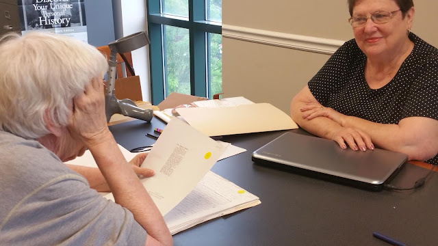
We started today in the usual way of a genealogy trip... head down in the library. We heard some interesting comments from Joel Reece at the Iredell County Library - the local history expert. He shared about the origins of an old map of the region that has been ubiquitous in our research... the William Sharpe map of 1773. The purpose of the map was to illustrate the need for additional Presbyterian churches in the area. Sharpe did this by mapping out circles around the Fourth Creek Presbyterian Church, in one-mile increments. It showed where all of the congregation members lived (our Thomas and McKnight families among them), and how far they would have to travel to get to the church. Here's basically what it looked like before Joel had it restored (it was on cloth): We finished going through the box of information that Mike Trivette from the Iredell Genealogical Society provided, wrapped up our book research, and headed back to the hotel to pick up Jeanie for lunch. We ch...
